
Here’s a couple options for getting to the Summit.
Both options start in the Parking Lot and follow Forest Roads to the Summit. Takes approx 2 hours, round trip
- Parking Lot to Summit – Route 1 (shortest route)
- Parking Lot to Summit – Route 2
- Geomap’s for these routes available! Follow general install instructions here, and select Tzouhalem Summit Route map from the list of available Heavy-J Geomaps (This is a FREE Map)
- If you have the free Avenza PDF app, use the ‘Import Map from QR Code‘ option to scan code below for instant (free) install of this map onto your smart phone


New Year Sunshine!

Max Fog

Summit Fog

Heavy B Rides the ridge

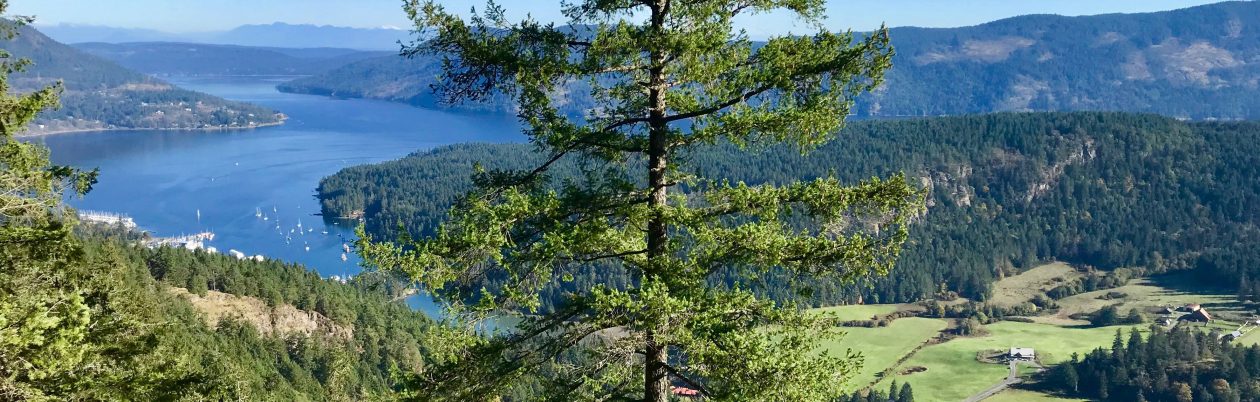
Summit View

Winter Sunset on Ridge. Photo: Jeff Nicholls
